Looming high above the prairie in Southwest Saskatchewan are the Cypress Hills. These hills rise to the highest elevation between the Rocky mountains and Labrador. It is Canada’s first and only interprovincial park, straddling the southern Alberta-Saskatchewan boundary, with a geocaching program too!
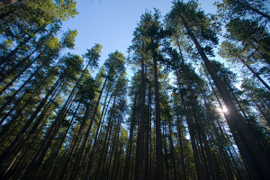
With this elevation comes an expansive lodgepole pine forest, and plants not found elsewhere in the province. The park has also been designated a Dark Sky Preserve, and affords visitors amazing views of the blanket of stars above. Interpreters run a weekly astronomy program where visitors can use telescopes high up in the hills.
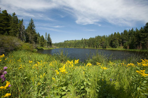
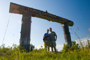
While in the park, hike or bike the Trans Canada Trail, take a dip in Loch Leven or the outdoor pool, go horseback riding on the many trails, fish in Battle Creek or Loch Leven, and even experience flying on a zip line. The “Friends of Cypress Hills” organization has also created a geocaching program with a number of geocaches throughout the park.
To learn more please visit:
- Cypress Hills Interprovincial Park
- Cypress Hills Destination Area
- GC600D – Cypress Hills
- Friends of Cypress Hills Geocache Program
- Map of the area on Geocaching.com: Centre Block, West Block
Map of the Mega Event in Rosthern, SK (A) and Cypress Hills Centre Block (B):
View Larger Map


